Journey 01 · Thailand · October 2026
The Nan Loop
Five days around Nan province — temples and museums in town, farm cafés, the tortuous road, Sapan bridge, Ban Piang So and Doi Phu Kha.
Open the atlas- Distance
- 287 km
- Days
- 5
- Season
- October 2026
- Bike
- Honda Wave
Five days around Nan, starting and ending at the airport. Temples and the national museum in town, then farm cafés and the tortuous road north — Sapan bridge, the ridge at Ban Piang So, and the long way home through Doi Phu Kha and Pua.
The map has the stops. The photographs have the rest.
01
Short films
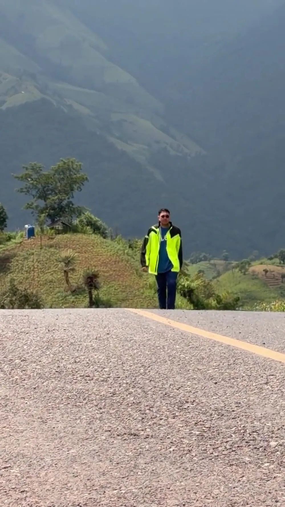
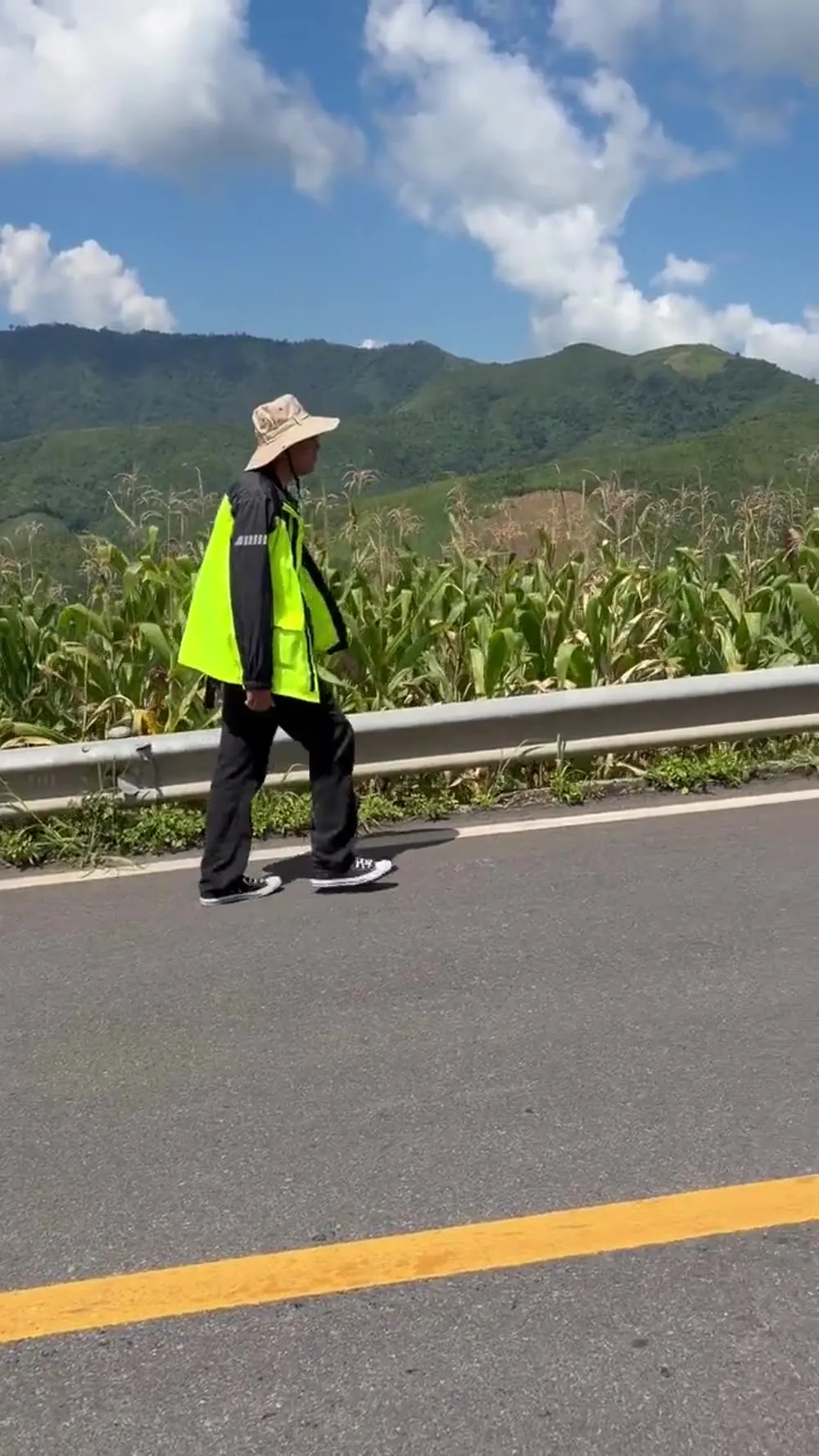
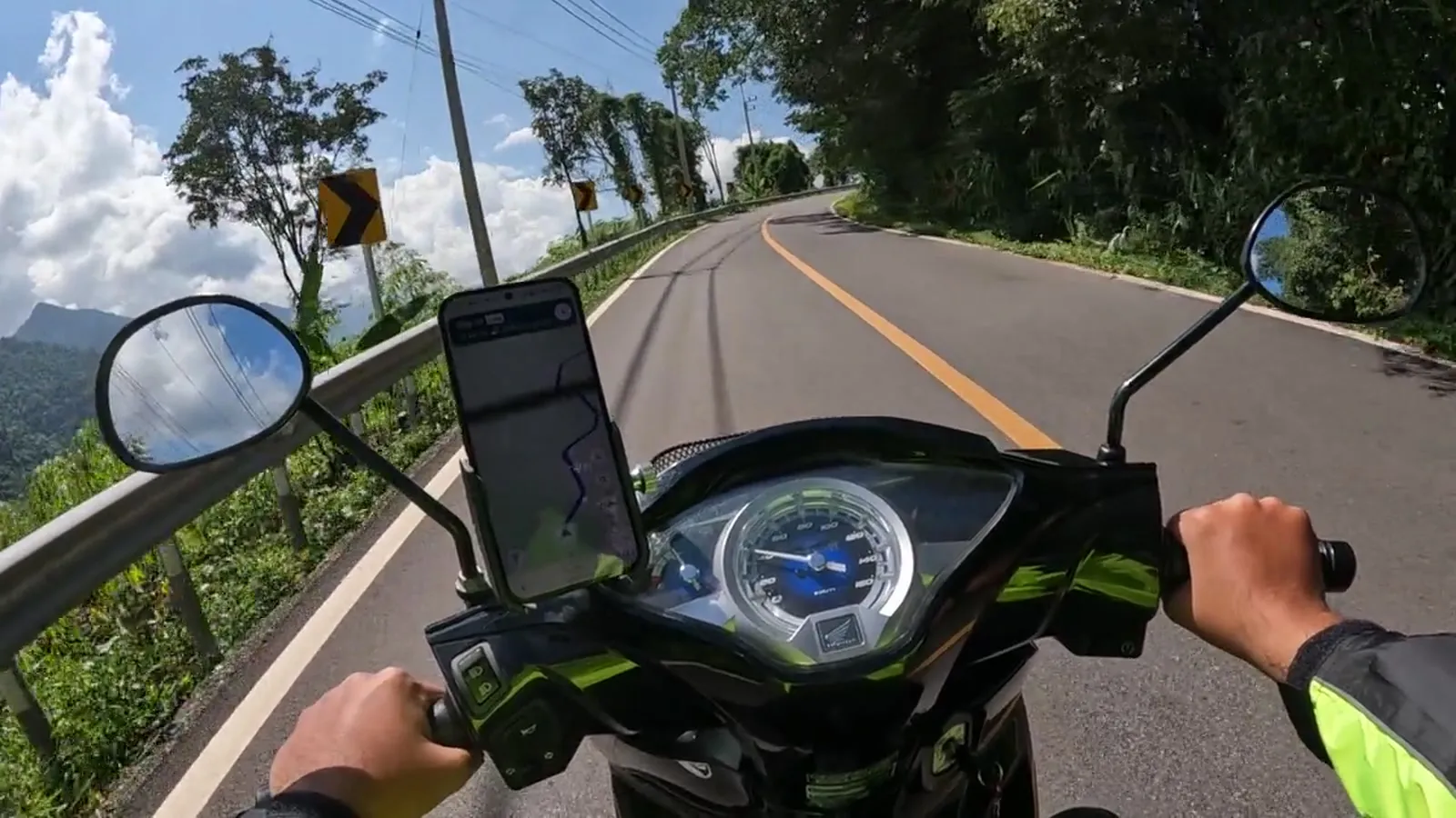
5 clips · 1:06 00:12
 00:14
 00:12
 00:15
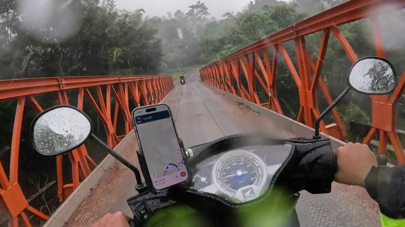 00:13
02
Time lapse
Yud Vela cafe · 00:31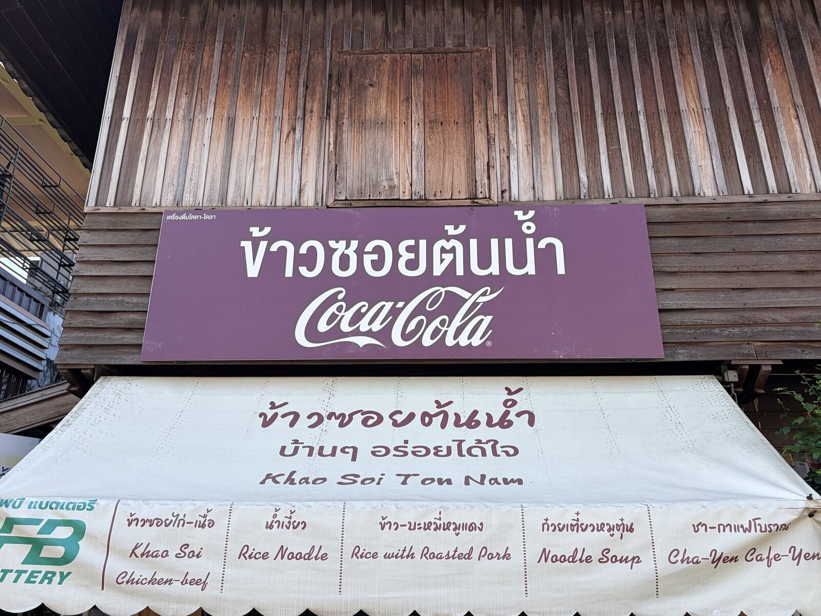 Khao soi, Nan Nan town, Thailand
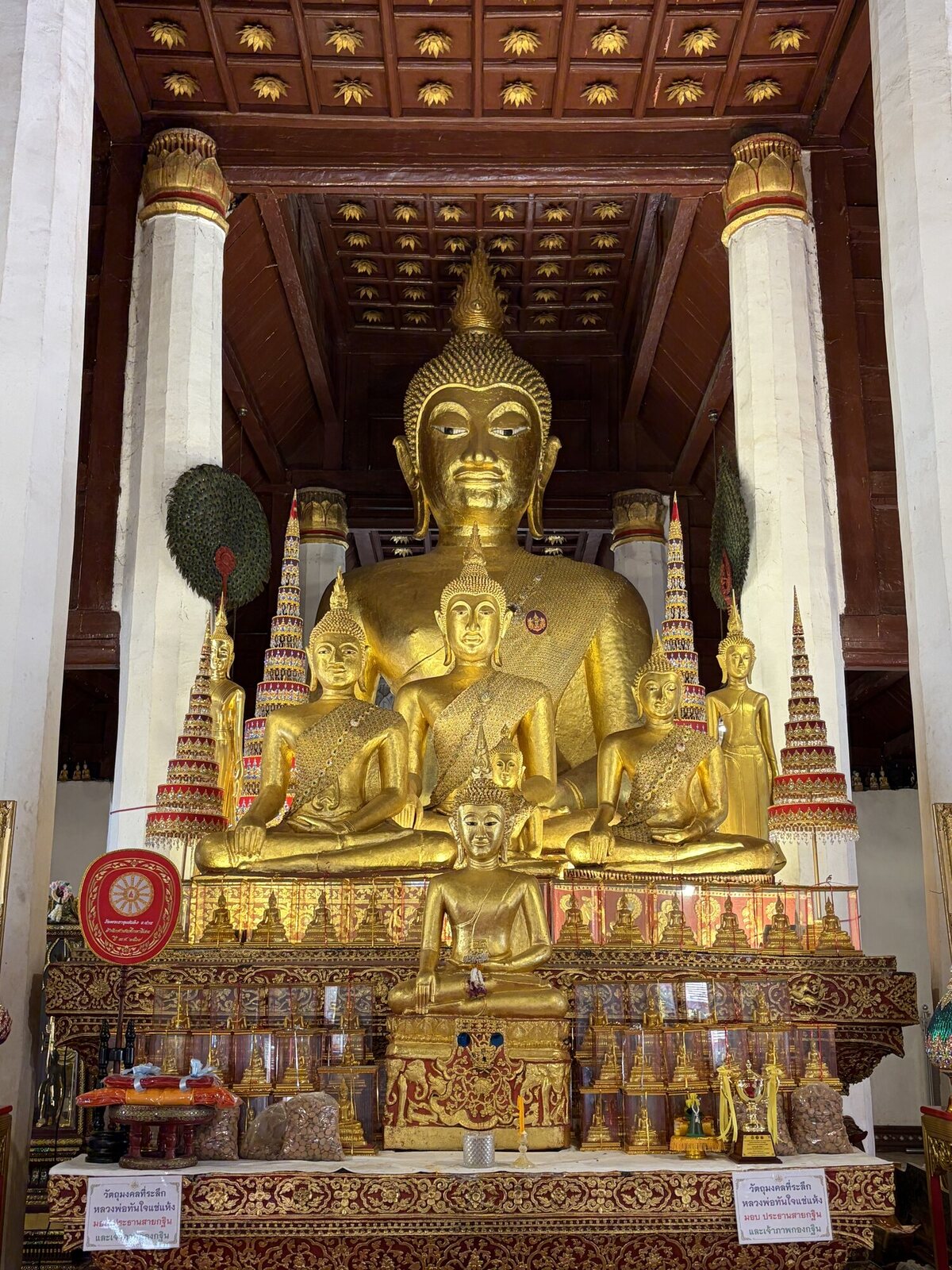 The golden hall Wat Phra That Chae Haeng, Nan
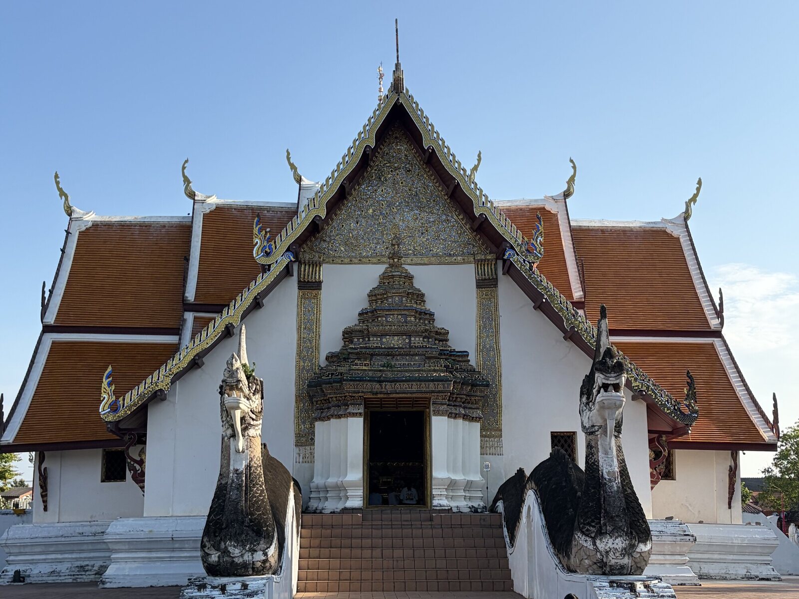 Wat Ming Muang Nan town, Thailand
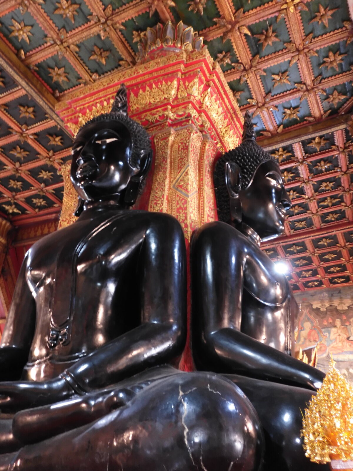 Black Buddhas Nan town, Thailand
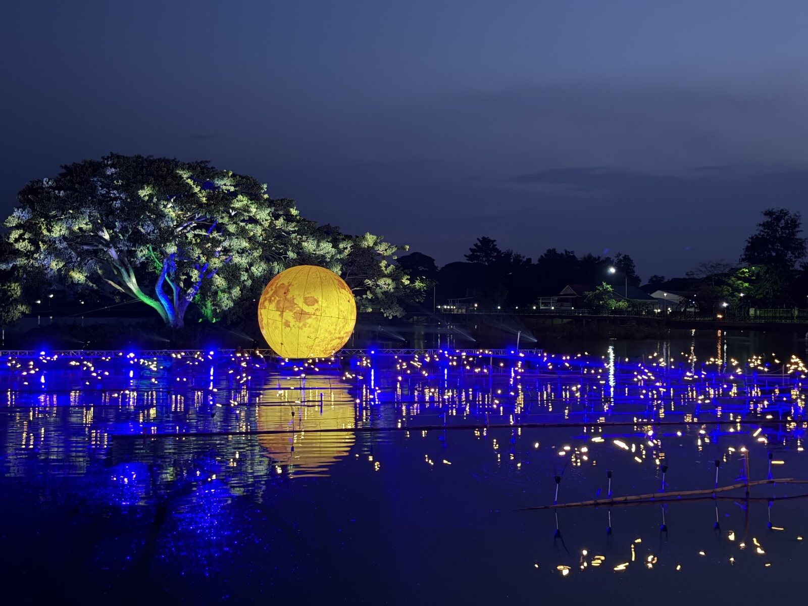 Lights on the water Nan town, Thailand
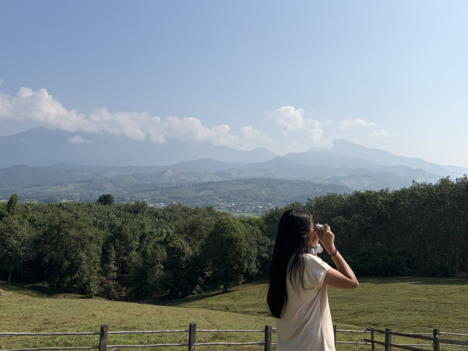 The first view Nan province, Thailand
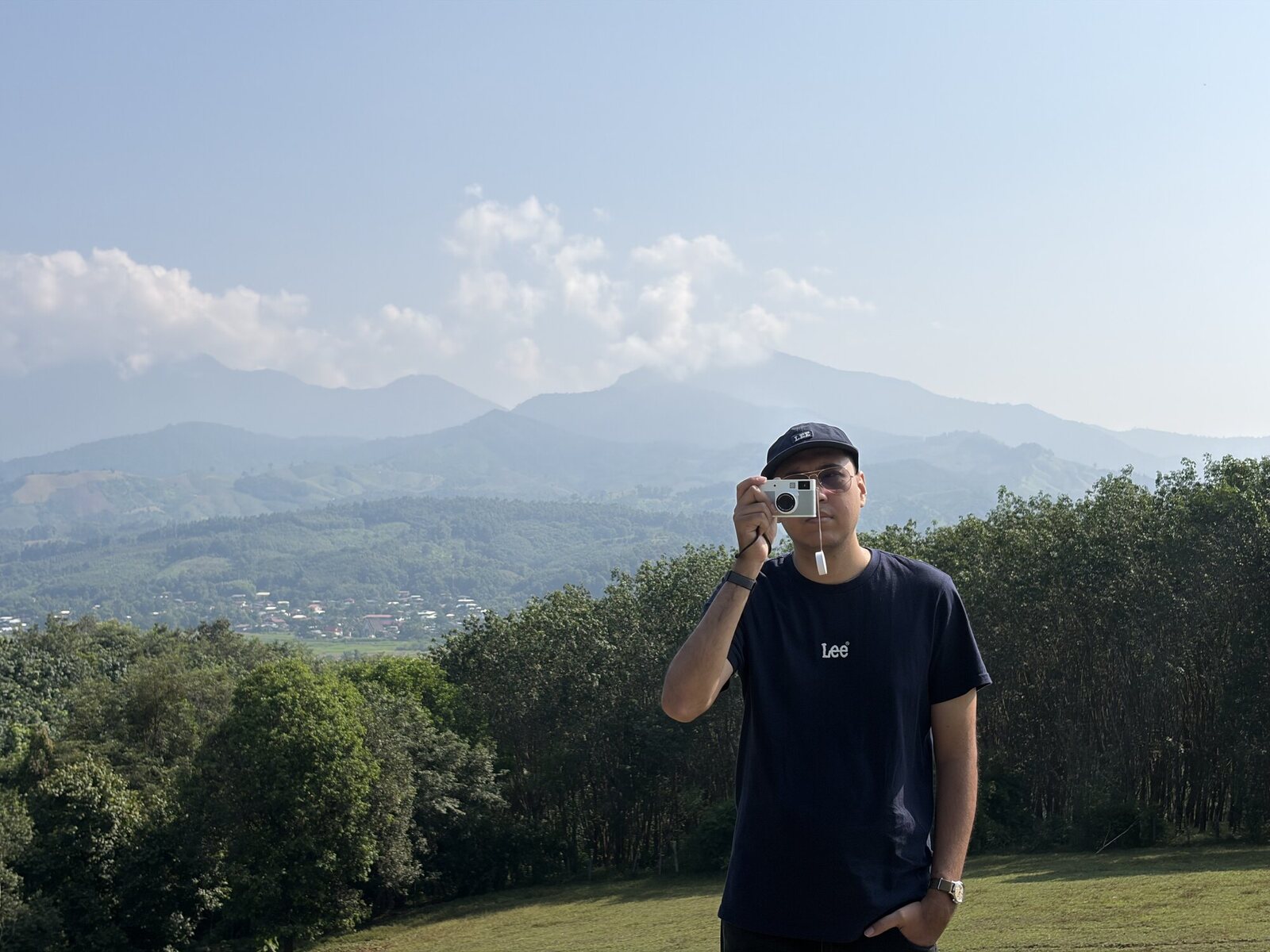 Making a photograph Nan province, Thailand
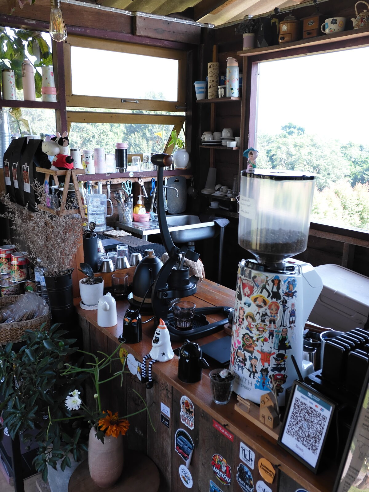 Pangwua Farm Pangwua Farm Cafe, Nan
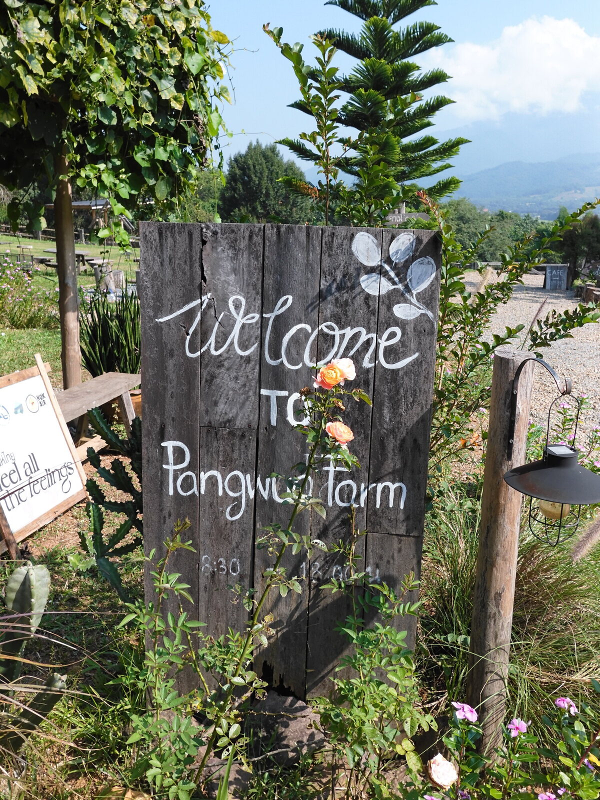 Pang Wua Farm Nan province, Thailand
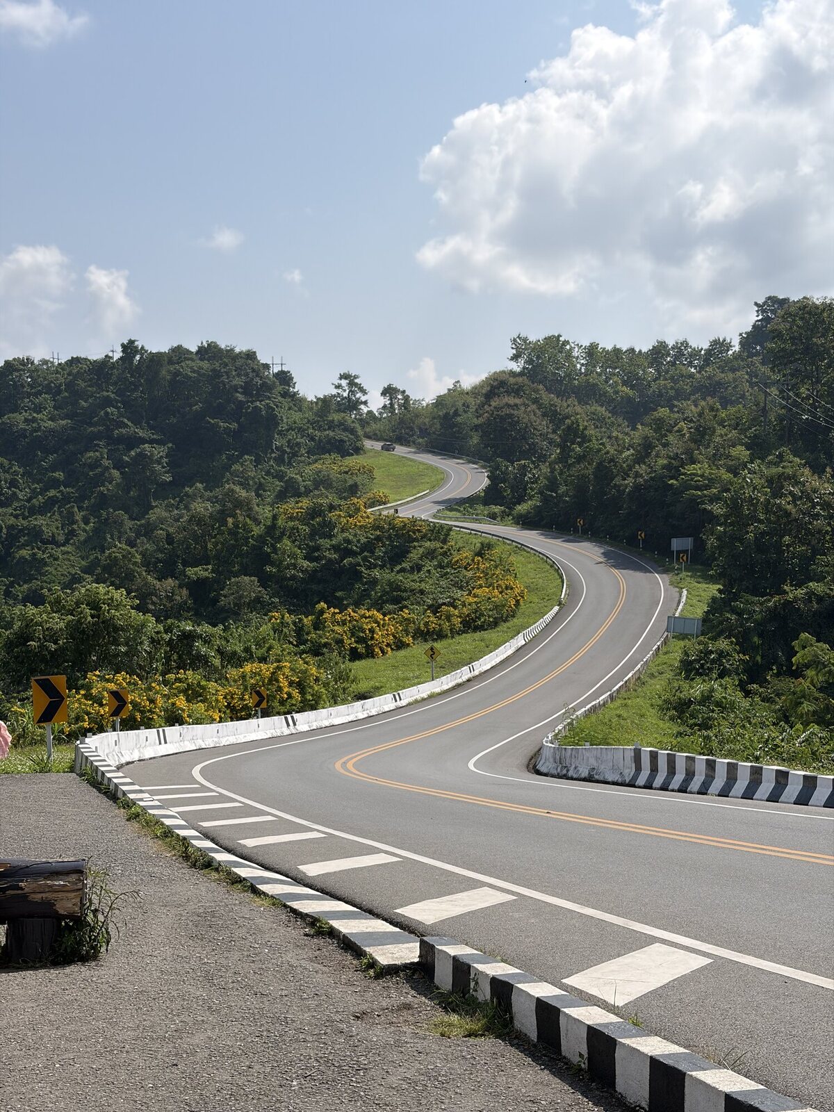 The climb Street Number 3, Nan
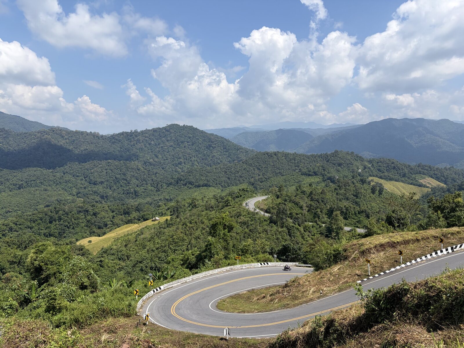 Tortuous road Tortuous Road Viewpoint, Nan
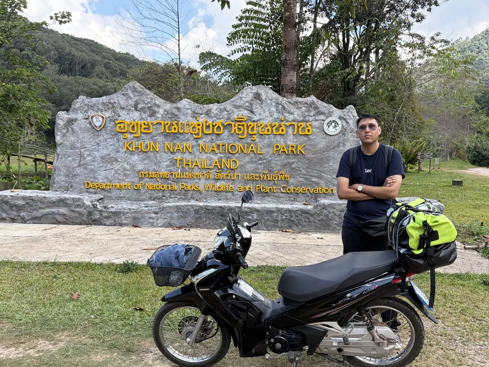
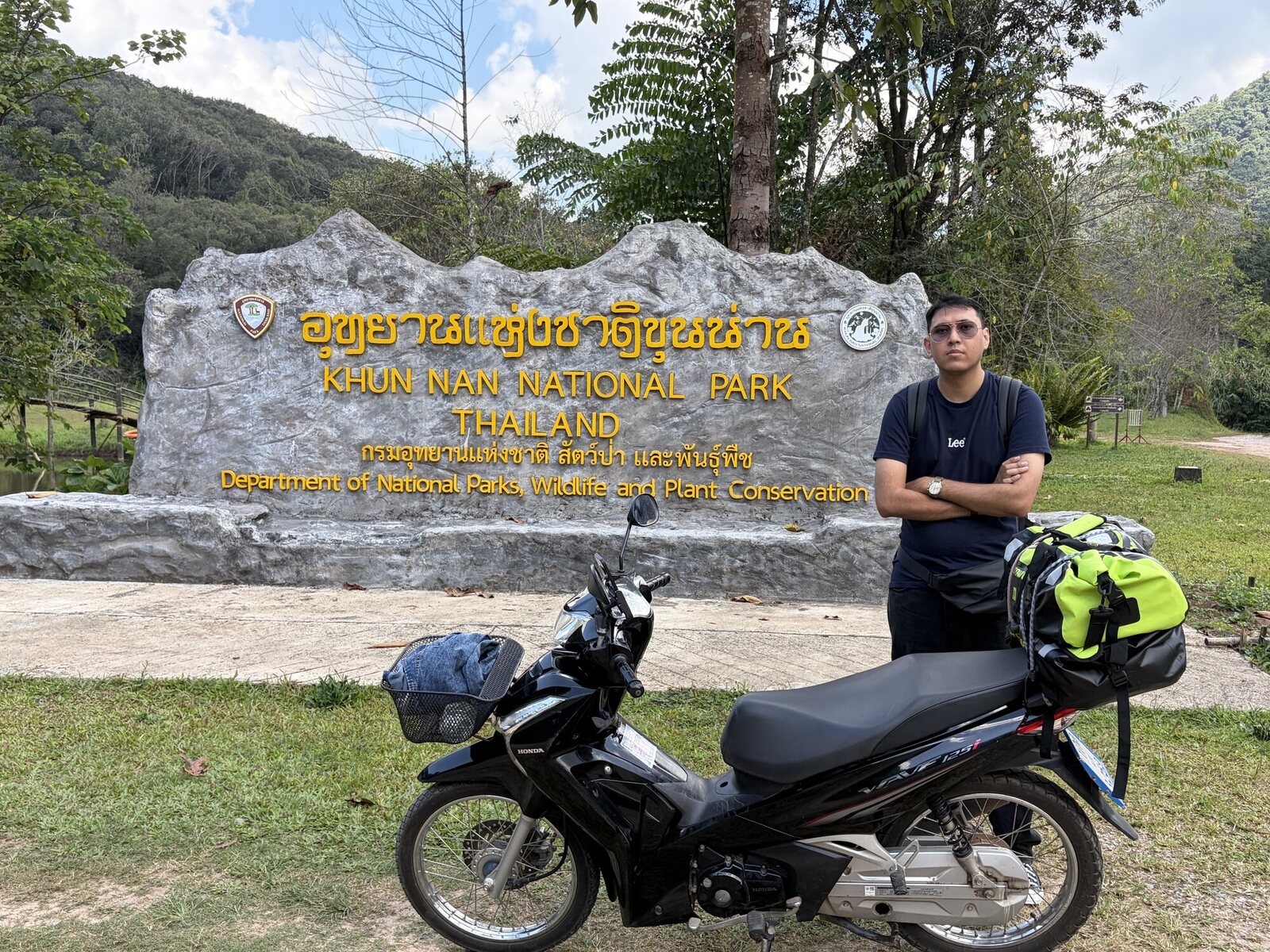 Khun Nan National Park Khun Nan National Park, Nan
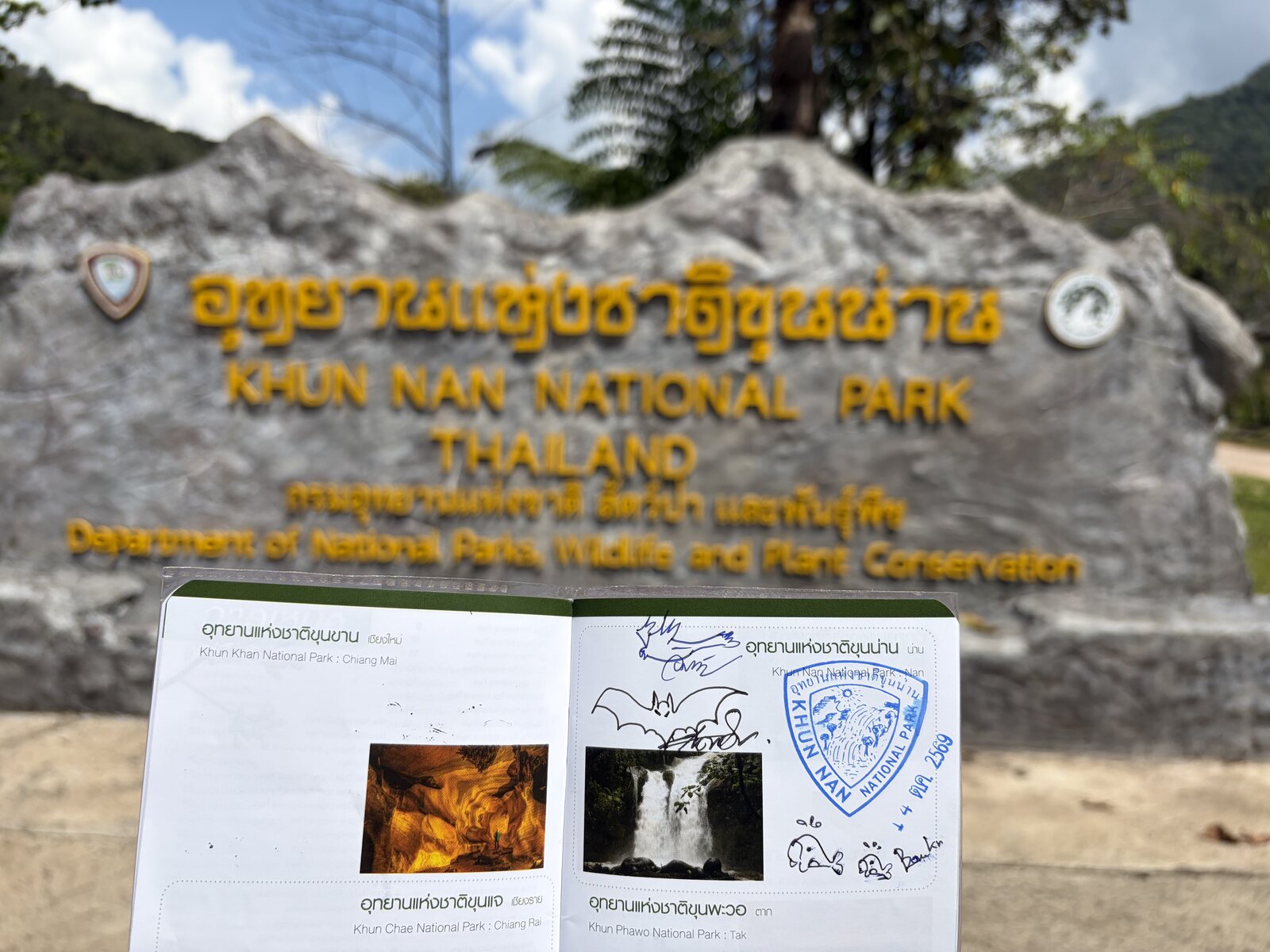 Park register Khun Nan National Park, Nan
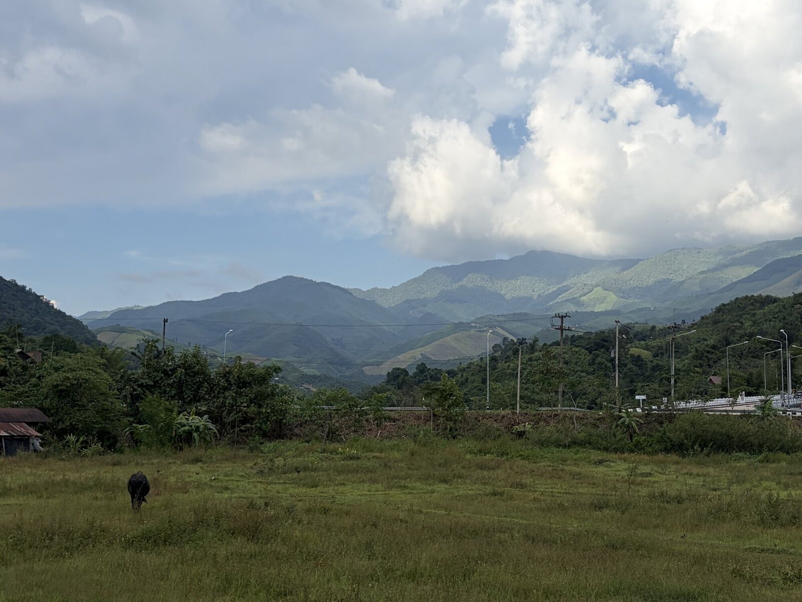 Sapan, late afternoon Sapan, Nan
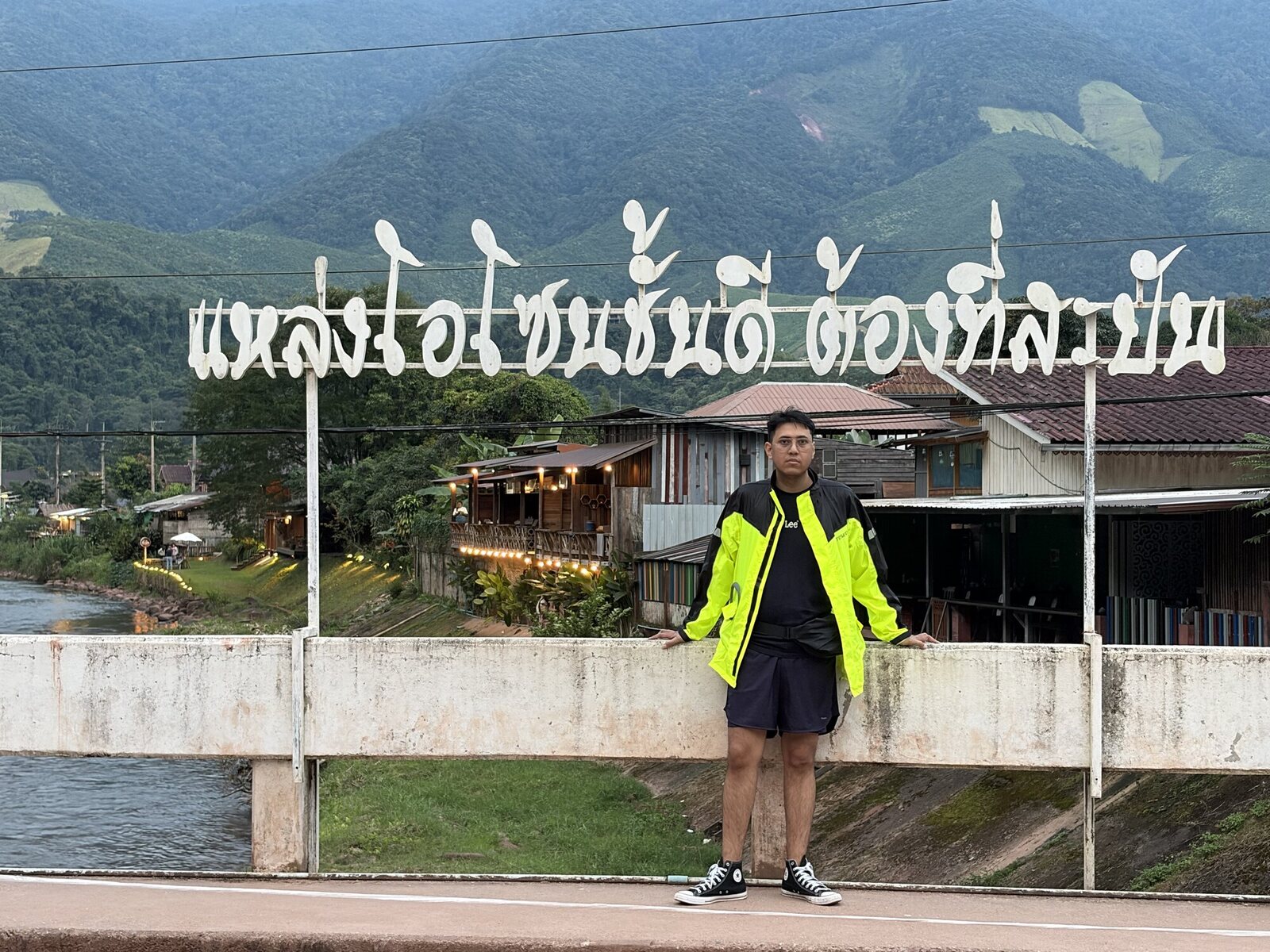 The bridge at Sapan Sapan, Nan
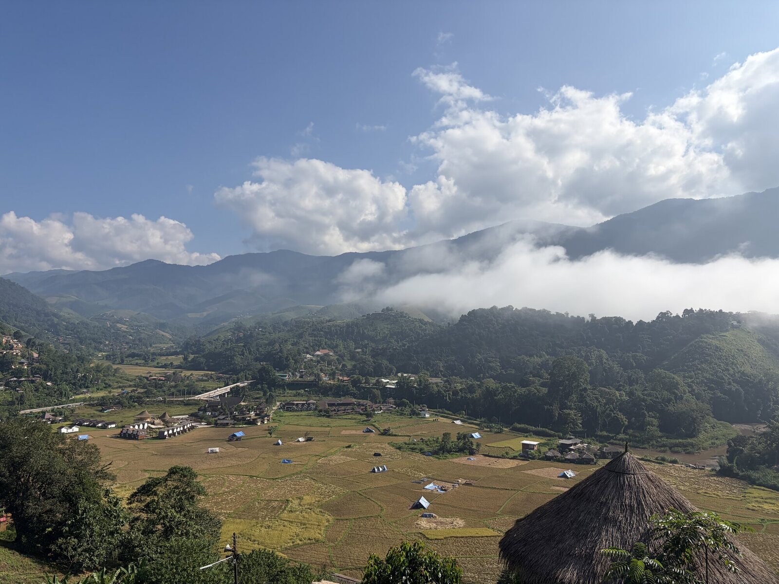 Morning in Sapan Sapan, Nan
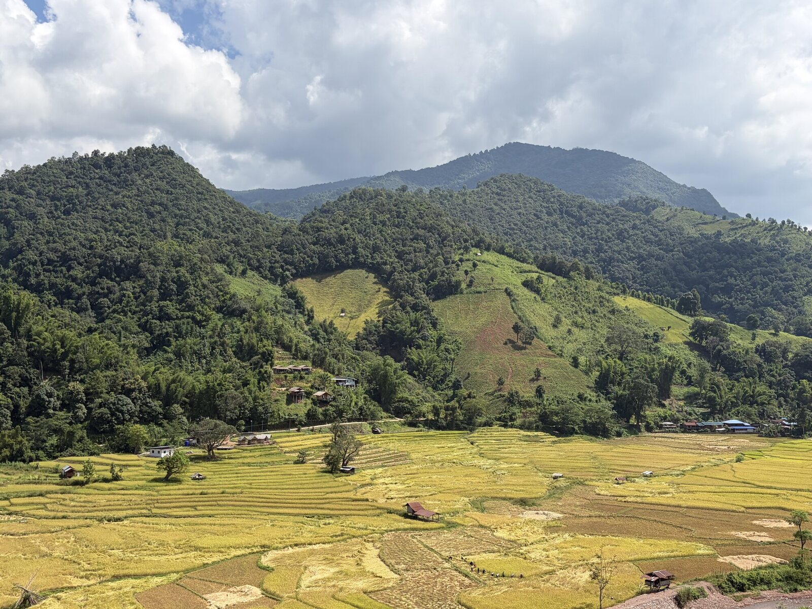 Rice fields below Piang So Ban Piang So, Nan
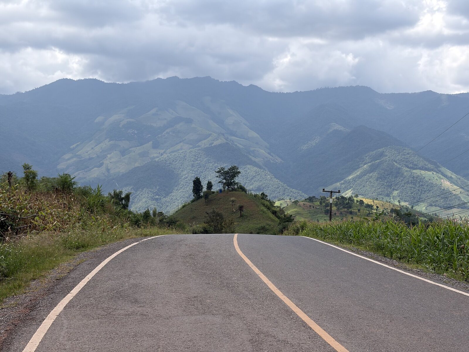 The Piang So sky road Piang So, Nan
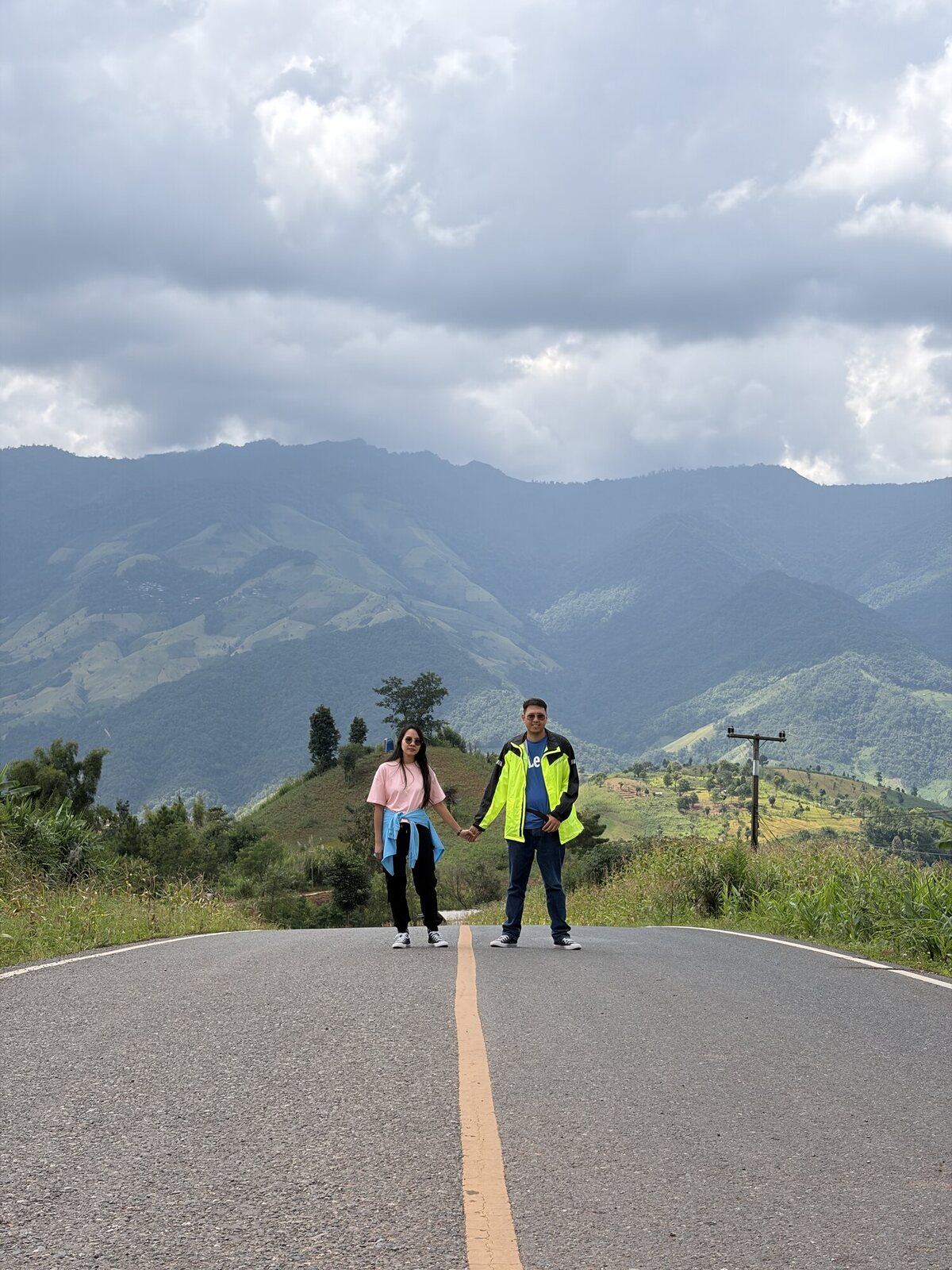 Two riders, one ridge Piang So, Nan
 Above Piang So Piang So, Nan
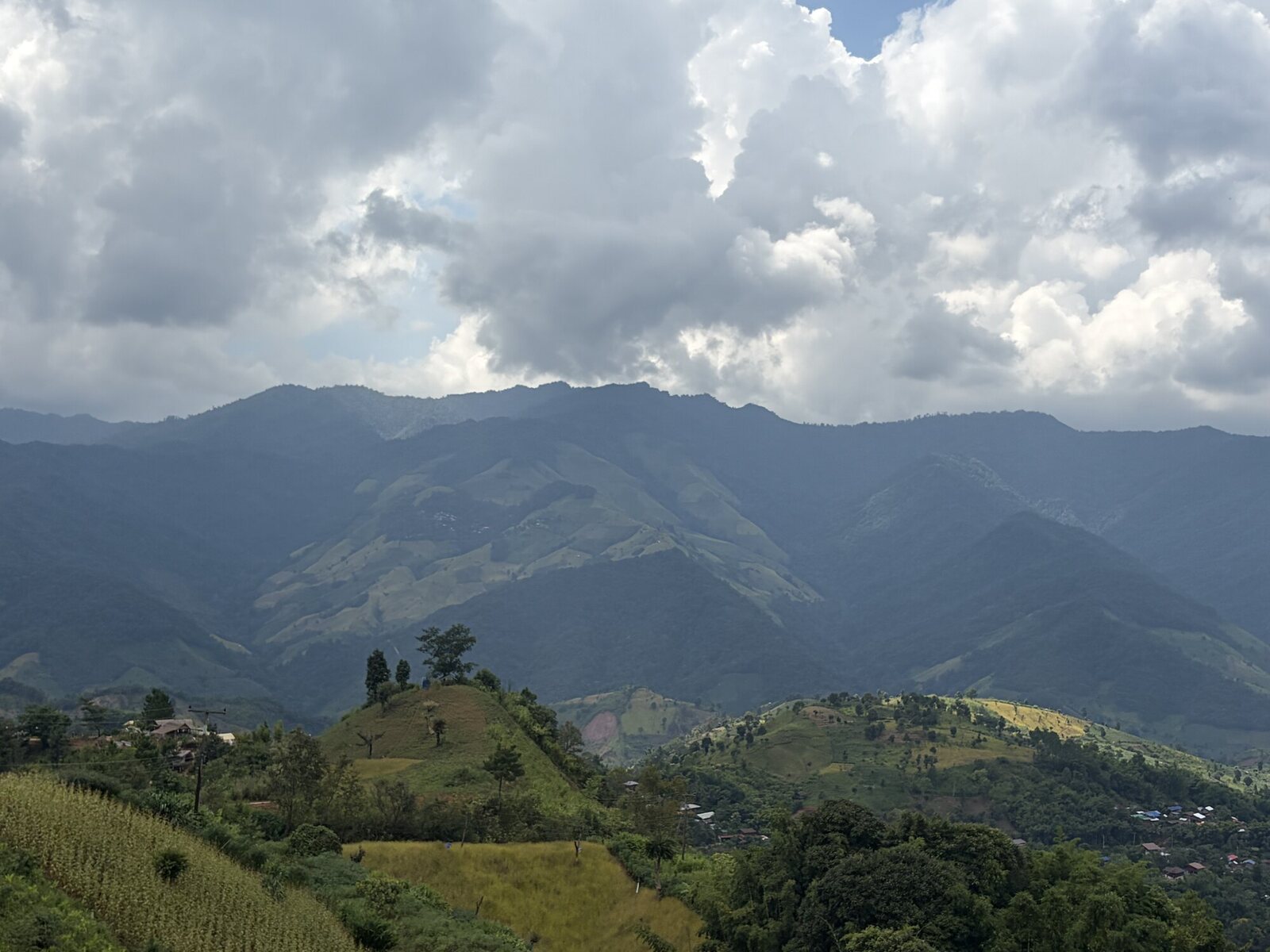 The ridge line Piang So, Nan
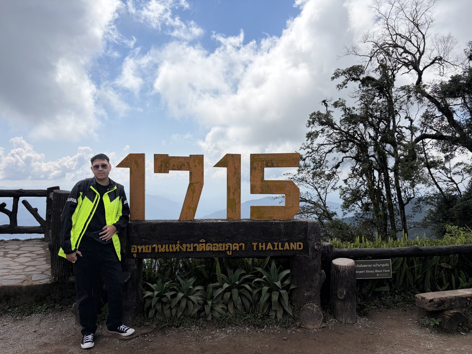 Viewpoint 1,715 Doi Phu Kha, Nan
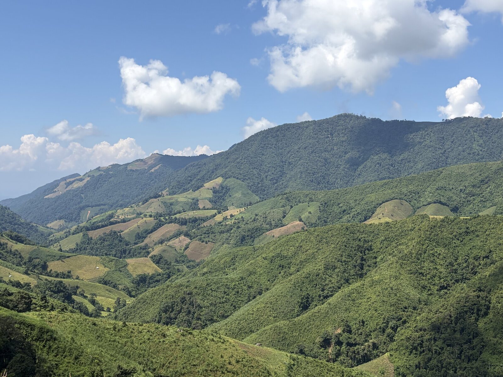 Doi Phu Kha Doi Phu Kha, Nan
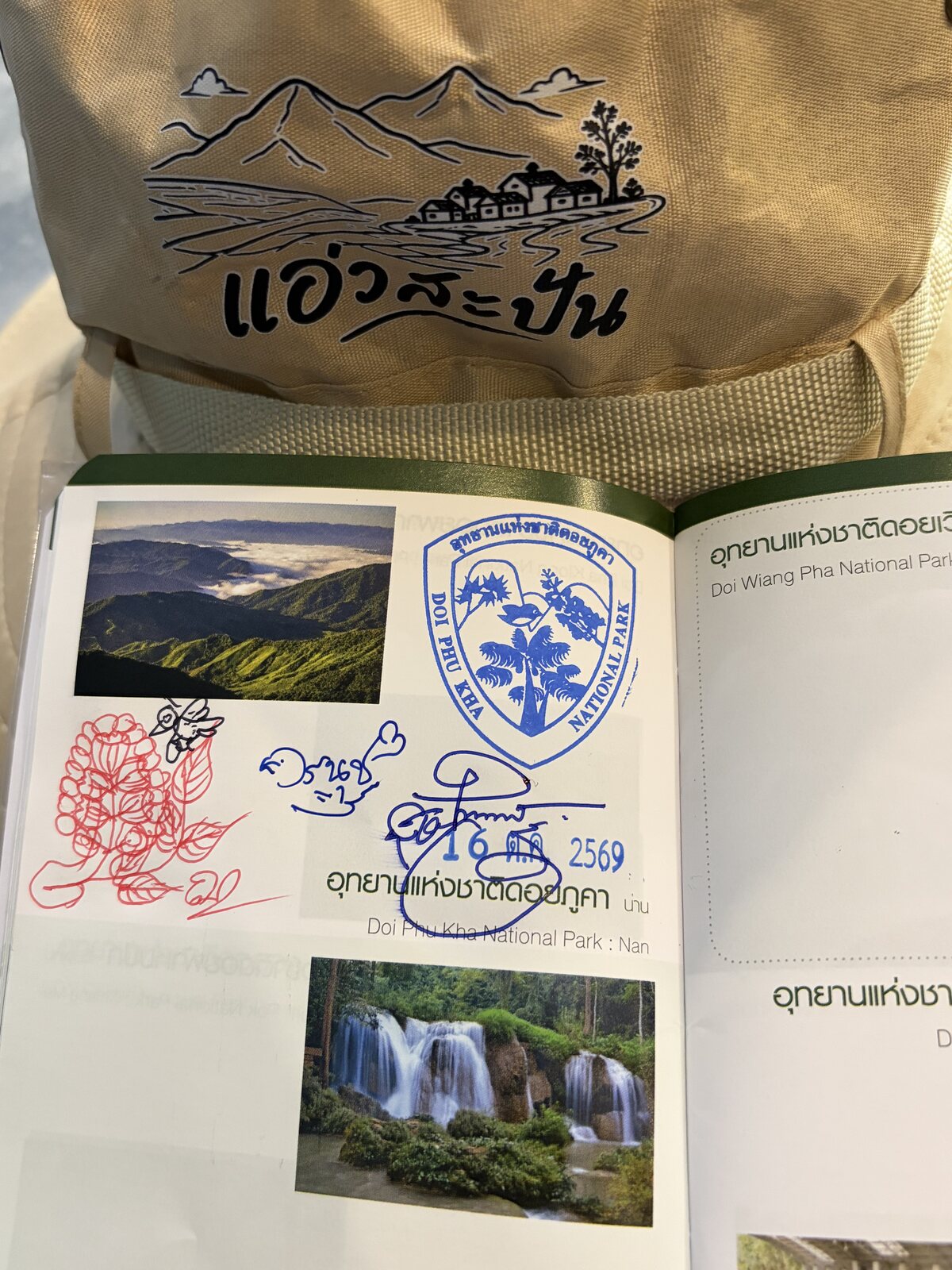 Stamps and notes Pua, Nan
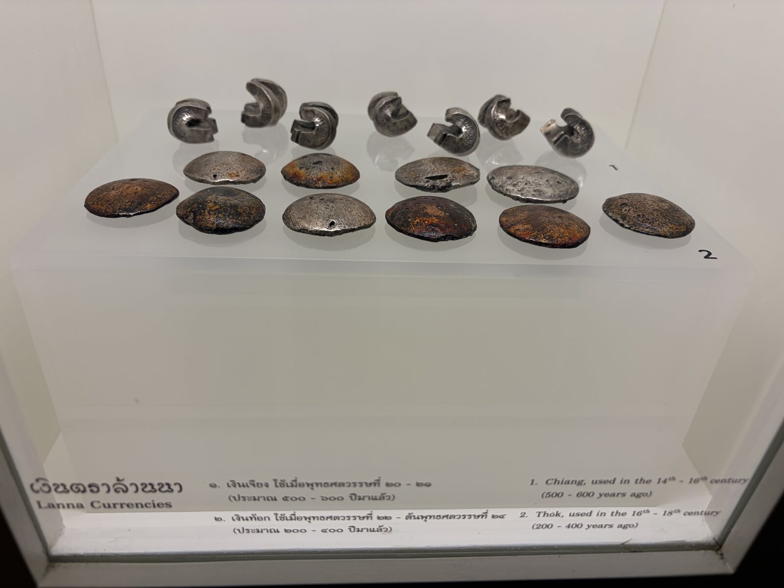 National Museum Nan old town, Thailand
 Inside the museum Nan old town, Thailand
 Back to Bangkok Nan Nakhon Airport, Nan
Interactive map unavailable.
- The Nan Loop, Nan Province, Thailand: 287 kilometres over 5 days, 13 stops.
04
The route
- 01 Nan Nakhon Airport Land, load the bike, and head into town.
- 02 Nan old town Pagodas, the national museum and a bowl of khao soi.
- 03 Pangwua Farm Cafe Coffee and breakfast on the farm.
- 04 Street Number 3 Nan A pause on the road north.
- 05 Tortuous Road Viewpoint The switchbacks, seen from above.
- 06 LHONG KHAO Coffee with a view before the park.
- 07 Khun Nan National Park The sign, and the last flat road for a while.
- 08 Sapan Bridge The bridge over the river at Sapan.
- 09 Yud Vela cafe A drink by the water.
- 10 Ban Piang So Viewpoint The ridge road and the village below.
- 11 Doi Phu Kha Viewpoint The 1,715-metre view over the range.
- 12 Pua Rice fields and the road home.
- 13 Nan Nakhon Airport Back at Nan, five days later.